


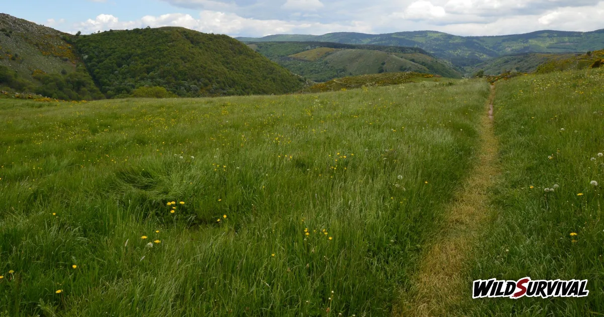
The Stevenson Trail, waymarked as the GR70, runs 272 km from Le Puy-en-Velay to Alès and takes 12 to 14 days on foot, according to the association that promotes it. It follows the journey Robert Louis Stevenson made in 1878 with his donkey Modestine, through the Velay, the Gévaudan, Mont Lozère and the Cévennes. May to October is the best window, gîtes need booking ahead and donkey hire is available along the whole route. In the core zone of the Cévennes National Park, wild camping is allowed for one night, from 7pm to 9am, within 50 metres of the waymarked trail.
How the Stevenson Trail came about
The association Sur le chemin de Robert Louis Stevenson tells the story on its history page. Stevenson set off from Le Monastier-sur-Gazeille on 22 September 1878, on foot, with Modestine carrying his kit, and reached Saint-Jean-du-Gard twelve days and roughly 220 km later. His travel journal came out in London in 1879 as Travels with a Donkey in the Cévennes.
The two main sources date the waymarking differently. The French Hiking Federation’s GR70 page says the current GR was waymarked in 1978, for the centenary of the journey. The association places a commemoration by the Club Cévenol in 1978, then the waymarking and classification as the GR70 by the federation in 1993, together with a guidebook published with Chamina. The association itself was founded in 1994 by tourism businesses along the route. In 2009 it began seeking recognition of the Stevenson Trail as a European Cultural Route, and filed an application with the Council of Europe in 2013; its page still describes the status as pending in 2015 and does not confirm that it was granted.
Route, distance and altitude on the Stevenson Trail
Today’s GR70 extends the 1878 route at both ends. The association starts it in Le Puy-en-Velay and finishes it in Alès, for 272 km across four départements: Haute-Loire, Ardèche, Lozère and Gard. The federation gives the same distance and divides the Stevenson Trail into four areas, the Velay, the Gévaudan, Mont Lozère and the Cévennes.
Altitude figures depend on which page you read. The federation gives a range of 600 to 1,500 metres, with a high point on Mont Lozère at 1,700 metres, and warns that the ascent is noticeable. The association quotes 128 m to 1,699 m for the whole route, and 700 to 1,700 m in its advice on when to go. Either way, the Mont Lozère crossing comes close to 1,700 m, which is what shapes your choice of season.
The trail carries the red-and-white waymarks of the French GR network in both directions, the association says. You can therefore walk it south to north, even though the businesses on the route generally work north to south.
More articles on WildSurvival
- Tent Condensation: Why It Forms and How to Reduce It
- Tour du Mont Blanc: Route, Huts and Wild Camping Rules
- How to Wash and Reproof a Waterproof Jacket
Breaking the Stevenson Trail into stages
On its page about choosing your stages, the association explains that the Stevenson Trail is traditionally split into 12 stages of around 20 km, and that Le Puy-en-Velay to Alès takes 12 to 14 days. The federation talks of 14 stages on average. Villages are frequent enough for you to build stages that fit your time and fitness, and the association’s map marks Stevenson’s historic 1878 overnight stops with a red circle alongside the distances between villages.
| Time available | What the association suggests |
|---|---|
| Two weeks | Le Puy-en-Velay to Alès, 272 km |
| One week, first half | Le Puy-en-Velay to Chasseradès, 130 km, or to Le Bleymard, 146 km |
| One week, second half | Chasseradès or Le Bleymard to Alès, 142 or 126 km depending on the start |
| Three days | One section: Le Puy to Langogne, 70 km; Langogne to Chasseradès, 60 km; Chasseradès to Florac, 65 km; Florac to Alès, 77 km |
With only a week, the association suggests splitting the route in two and saving the second half for another trip. With less than a week, it recommends sticking to a single section. Its FAQ names the longest stage, Le Pont-de-Montvert to Florac, at 28.5 km, and a short detour to the gîte d’étape at Mijavols turns it into two days of about 15 km each.
The final stage, Saint-Jean-du-Gard to Alès, is rated very difficult for riders and mountain bikers, with many rocky passages and very steep sections, and the association points them to an alternative route designed for walkers with donkeys. As with hiking the GR20 in Corsica, settle your stages on the map before you book anything.
When to walk the Stevenson Trail
The association puts the best period between May and October, because the Stevenson Trail climbs to 1,700 metres. It also advises starting on a weekday, since weekend starts make full accommodation more likely. The federation considers the trail walkable all year, while flagging strong summer heat and the chance of snow in winter. In July or August, our guide to how much water to carry when hiking will help you fill your bottles.
Winter needs real planning. Out of season, the association asks walkers to check beforehand that accommodation and food stops are open. Some hosts commit to opening from All Saints’ Day to Easter and carry a snowflake logo, and booking at least 8 days ahead becomes compulsory. On snowy sections you need snowshoes or cross-country skis, because the waymarks vanish under the snow. The association also warns about the tourmente, the local snowstorm.
Gîtes and other places to stay
Along the Stevenson Trail, the association lists hotels, inns, B&Bs, gîtes d’étape, campsites and basic nature sites. It sorts them into three groups: nature sites, campsites and light structures; gîtes d’étape, campsites, B&Bs, holiday cottage villages and monastic guesthouses; and hotels. The federation highlights the many walker-friendly gîtes that make stage planning easy, and advises booking ahead because of how busy the route gets. Nearly all accommodation is open from Easter to All Saints’ Day, and hosts prefer walkers to arrive from 4pm.
The association strongly recommends booking, since some stages have only one or two small places to stay. It takes no bookings itself, so you contact each host directly. On the Tour du Mont Blanc with its huts, a central platform handles part of the bookings, which this route lacks. Listed prices are a guide only and do not always include tourist tax. If you would rather walk light, several companies run luggage transfers, collecting bags each morning and dropping them at the next stage.
Walking the Stevenson Trail with a donkey
Taking a donkey on the Stevenson Trail is the most faithful way to follow the writer. The federation notes donkey hire all along the path and rates this GR as one of the best suited to pack donkeys. The association’s hire page lists operators across the Velay, Gévaudan, Mont Lozère and Cévennes sections, from Le Monastier-sur-Gazeille to Vialas. Its website also has pages of advice on walking with a donkey and on Modestine herself.
Plan your pace around the animal. The association’s FAQ gives a walking speed of about 3 km an hour and an average load of 40 kg. A donkey can carry a child, as long as you stay within that maximum load. Dogs are welcome too: check that your host accepts them, shown by a dedicated logo, and keep them on a lead in the national park’s core zone.
Wild camping in the Cévennes National Park
Part of the route runs through the core zone of the Cévennes National Park, where wild camping follows a specific order. Order no. 2014-0007 of 20 January 2014, signed by Jacques Merlin, then director of the park authority, and still listed as in force in the Ineris regulatory database, allows a bivouac only when every one of these conditions is met:
- you are a walker without a motor vehicle;
- you sleep under a light tent you cannot stand up in, or with no tent;
- you stay one night only, between 7pm and 9am;
- you pitch along a waymarked GR or GRP route, no more than 50 metres either side.
In every other case, bivouacking is banned in the core zone. The same order excludes several sections, including a stretch of the Stevenson Trail near the summit of Finiels on Mont Lozère. Fires are limited to a portable stove, more than 200 metres from woods, forests, plantations and replanted areas, in line with prefectoral orders. Outside the core zone, the general rules apply, and our article on wild camping rules in France sets them out. Check the current rules with the park before you go.
Food and water between villages
Some stages lack both a grocery and a bakery, the association warns, and several villages and hamlets offer no supplies at all: Goudet, Luc, Cheylard-l’Évêque, Mirandol, Le Bonnetès, Les Alpiers, Finiels, Mijavols and Cocurès. Plan your picnics ahead, or ask your host to prepare them.
For water, its kit list simply asks you to carry enough. On stretches with no supplied village, fill your bottles at the morning’s accommodation according to the length of the stage.
Brochure, guidebook and transport links
To help you prepare the Stevenson Trail, the association offers a free brochure, in a 2026 edition, to download or receive on paper, along with a mobile app. The federation points to its own guidebook, Le Chemin de Stevenson, reference 700.
For transport, only some stages have a bus or train service to reach another stage. The association covers public transport access in a dedicated section, along with taxis that carry walkers and luggage. Before you set off, it also suggests checking the Météo-France forecasts published for several points along the Stevenson Trail.
The Stevenson Trail at a glance
| Topic | Key point |
|---|---|
| Start and finish | Le Puy-en-Velay and Alès, or Le Monastier-sur-Gazeille and Saint-Jean-du-Gard for the 1878 route |
| Distance | 272 km for the full GR70 |
| Duration | 12 to 14 days, 12 to 14 stages depending on the source |
| Season | May to October, winter possible with accommodation booked 8 days ahead |
| Accommodation | Booked directly with each host |
| Donkey | Hire along the route, about 3 km/h, 40 kg average load |
| Wild camping in the core zone | One night, 7pm to 9am, within 50 m of the GR, outside excluded sections |
Start by fixing your number of days, then choose between the full GR70 and a single section. Book your nights with each host, and decide early whether a donkey comes along, since its 3 km an hour pace changes the length of every stage.