


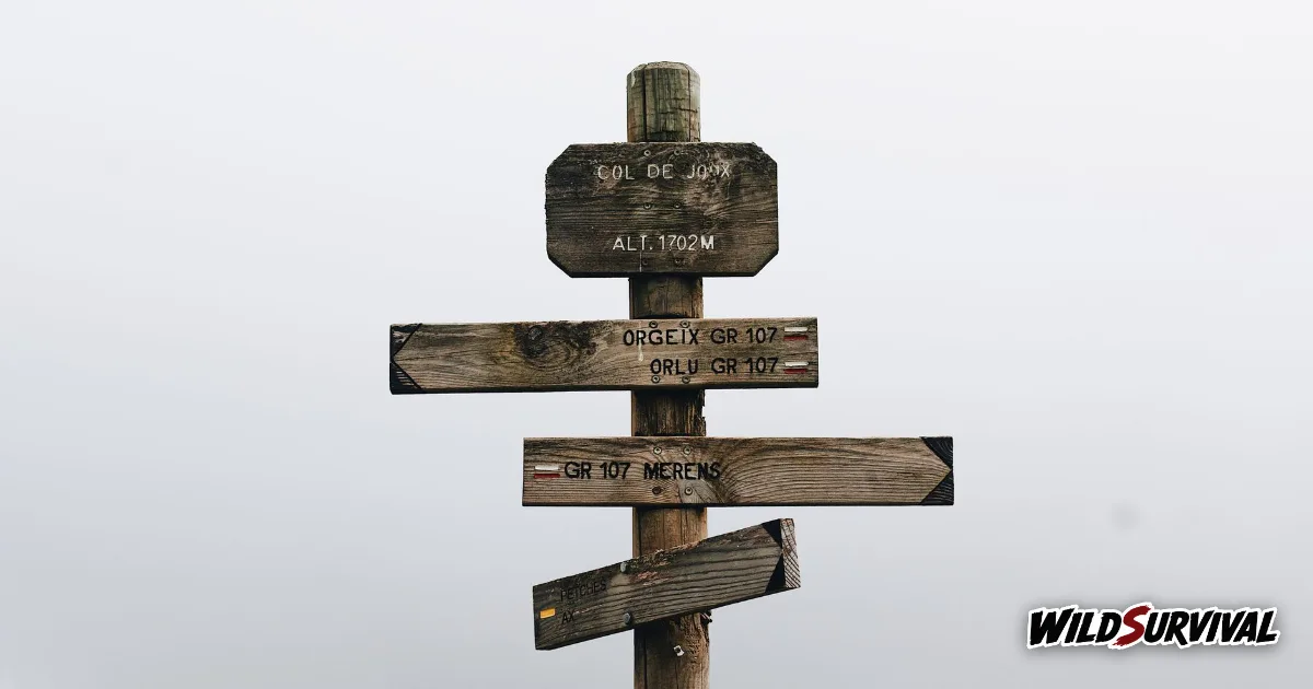
To estimate your walking time on a hill day, Naismith’s rule allows one hour for every 5 km of distance plus one hour for every 600 m of ascent. The Alpine clubs’ method, based on the German standard DIN 33466, is more cautious, because it also counts the descent. Both figures are pure moving time, so add breaks and lunch on top before you settle on a time to be back down.
Naismith’s rule, the Scottish original
The first known formula comes from the Scottish climber William Naismith. Writing in the Scottish Mountaineering Club Journal in 1892, he suggested allowing one hour for every three miles on the map, plus an extra hour for every 2,000 feet of ascent. The metric version in use today, set out in the Wikipedia entry on Naismith’s rule, works out at 12 minutes per kilometre and 10 minutes per 100 metres of climbing.
Ordnance Survey turns it into something you can do straight off the map. Its map reading guide gives 5 km an hour plus half an hour for every 300 metres of ascent, which it expresses as an extra minute for each 10 metre contour line and five minutes for each thick one. If you can already read a topographic map, you can work out your walking time by counting contours.
Corrections from Tranter, Langmuir and Aitken
Naismith’s rule leaves out the descent and assumes good ground. Several authors have refined its walking time estimate. Tranter’s corrections adjust the time for fitness and fatigue, with fitness measured by how long it takes to climb 1,000 feet over half a mile. Langmuir, in Mountaincraft and Leadership in 1984, suggested taking off 10 minutes for every 300 metres of descent on gentle slopes of 5 to 12 degrees, and adding 10 minutes per 300 metres on slopes steeper than 12 degrees.
For groups, Langmuir worked on 4 km an hour plus one hour for every 450 metres of ascent. Aitken, in a 1977 doctoral thesis at the University of Aberdeen, kept 3 miles an hour on paths and roads but dropped it to 2.5 miles an hour on other terrain.
More articles on WildSurvival
- How to Read a Topographic Map: Contours, Scale and Grid
- Hiking in the Rain: How to Stay Dry and Safe
- How to Identify Trees: Leaves, Bark, Buds and Fruit
The DIN 33466 method used in the Alps
On the Continent, the reference is the German standard DIN 33466, used by the Alpine clubs. The Munich and Oberland section of the German Alpine Club sums up its three benchmarks: 300 metres of ascent in an hour, 500 metres of descent in an hour and 4 km on the flat in an hour.
The clever part is how you combine them. Work out the time for the distance and the time for the height separately, then halve the smaller figure and add it to the larger one. The club’s own example is an 8 km walk with 1,200 metres of ascent: 4 hours for the climb and 2 hours for the distance, giving 4 hours plus half of 2, or 5 hours of walking.
The club also points out that these times leave out breaks, how you feel on the day, the weather, the weight of your pack, photo stops and the pace of a group. Treat that walking time as time on the move, and adjust it with your own experience.
Working out walking time on an example route
Take an example route, to be swapped for your own figures: 12 km with 800 metres of ascent and 800 metres of descent. Here is what the two methods give.
| Step | Naismith | DIN 33466 |
|---|---|---|
| Distance, 12 km | 12 ÷ 5 = 2 h 24 | 12 ÷ 4 = 3 h 00 |
| Ascent, 800 m | 800 ÷ 600 = 1 h 20 | 800 ÷ 300 = 2 h 40 |
| Descent, 800 m | not counted | 800 ÷ 500 = 1 h 36 |
| Combined | 2 h 24 + 1 h 20 | height 4 h 16, plus half of 3 h 00 |
| Walking time | 3 h 44 | 5 h 46 |
The gap in walking time is large, and the reasons are clear: DIN assumes a slower pace on the flat, 4 km an hour against 5, and it counts the descent. For a first trip into big mountains, plan on the cautious figure. The French planning site Randozone then adds 5 to 10 minutes of rest for every hour and 45 minutes for lunch, which takes our example day from 5 h 46 to around 7 hours or a little more.
Where signpost times come from abroad
If you walk in France, the times on the trail signs are worked out by the French hiking federation with a spreadsheet, according to a September 2025 report by the French site Mon séjour en montagne. The assumptions are close to DIN: 4 km an hour on the flat, 300 metres an hour uphill and 450 metres an hour downhill. The same report notes that the Savoie branch of the federation finds the posted times at Les Allues and Les Belleville longer than the times walkers actually take. In Switzerland, the national footpath association states that the walking time on its signposts excludes breaks.
Adjusting walking time to your day
| Factor | What it changes |
|---|---|
| Breaks | 5 to 10 minutes an hour, plus lunch |
| Group | Langmuir: 4 km an hour and one hour per 450 m of ascent |
| Rough or pathless ground | Aitken: 2.5 miles an hour instead of 3 off paths and roads |
| Steep descent | Langmuir: add 10 minutes per 300 m beyond 12 degrees |
| Short winter days | Check sunset before you leave and set a turnaround time |
Your own pace is the best figure of all. Time yourself on a familiar route, compare the result with Naismith, and keep the correction that fits you. Then work out your walking time the night before, add the breaks and set a time to turn back that leaves daylight in hand. On a long trek such as the GR20, that sum is part of planning every stage, and our guide to hiking the GR20 in Corsica shows how to apply it over several days, while well set trekking poles take some of the sting out of the descents.